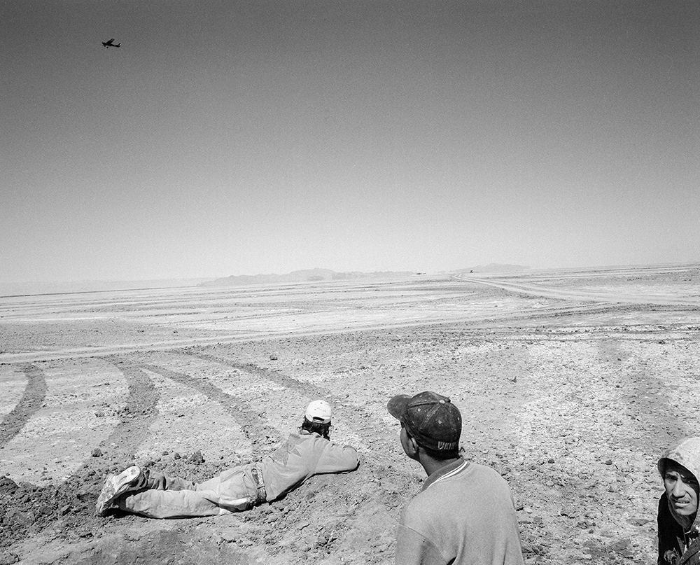
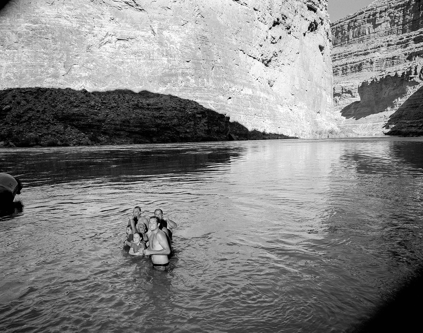
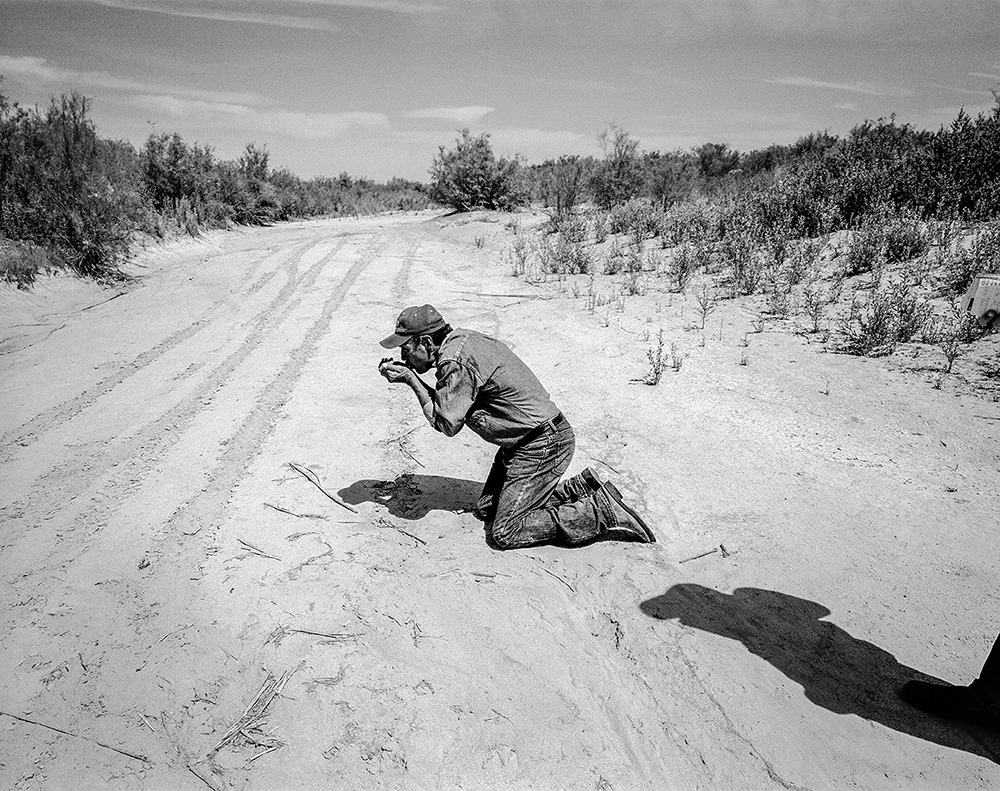
Since 2001, I’ve been photographing the consequences of the sweeping human alteration of the Colorado River in the southwestern United States and Northwest Mexico. The Colorado, I soon learned, was greatly reduced from what it once was, no longer making its ancient rendezvous with the Sea of Cortez between the Baja California peninsula and the Mexican mainland.
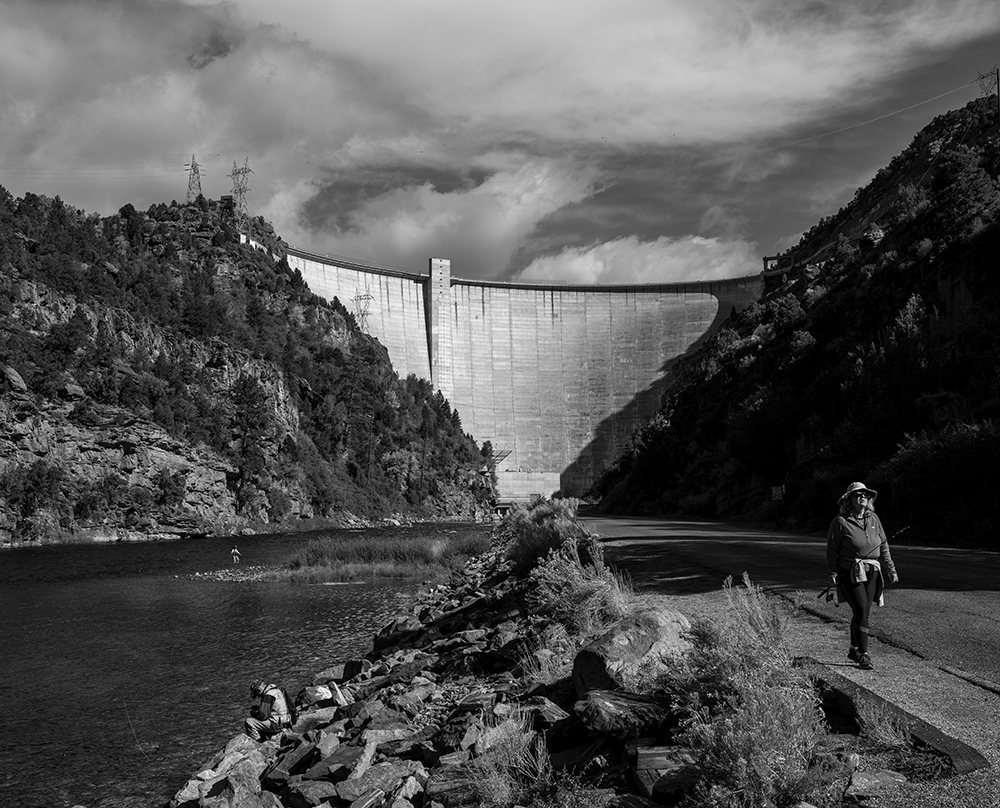
Forces north of the border had other destinations planned for the river’s water, and in 1922 divided its annual flow between seven U.S. states and Mexico. They built an extensive network of dams, stilling much of the once-roiling river and creating the foundation on which the Southwestern U.S. has been built.
But the foundation of everything, the premise of 1922, was based more on wishful thinking than fact and up to 25% more water has been promised to the river’s users than exists.
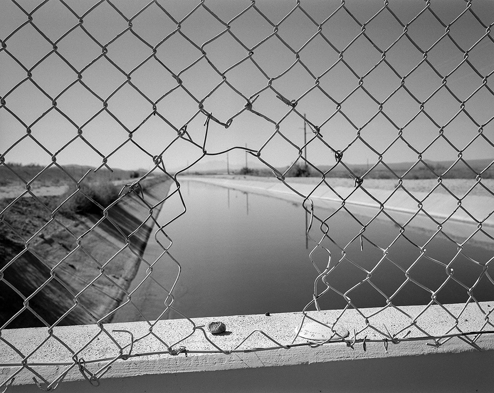
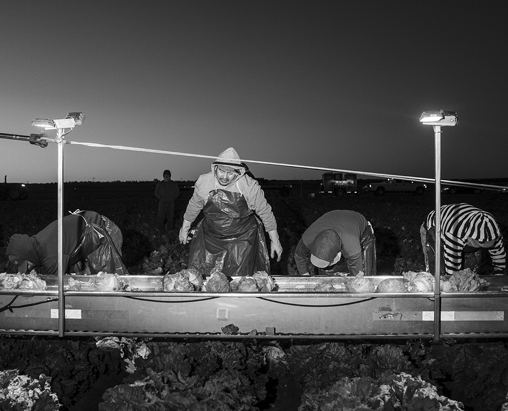
In my many trips to the river, I am most struck by the profound disconnection that the river’s users have with this vast, glorified plumbing system, which provides them with water - one of the few things in the world without which we cannot survive. Despite years of warnings from scientists, the users have been drawing down the system’s two biggest reservoirs, Lake Powell and Lake Mead, faster than the river can replenish them.
As climate change continues shrinking the Colorado, cooperation and understanding are the only hope for mitigating the inevitable suffering for more than 40 million people directly dependent on its water. The stakes have never been higher.
Website
www.mapsimages.com
Collective or Agency
MAPS